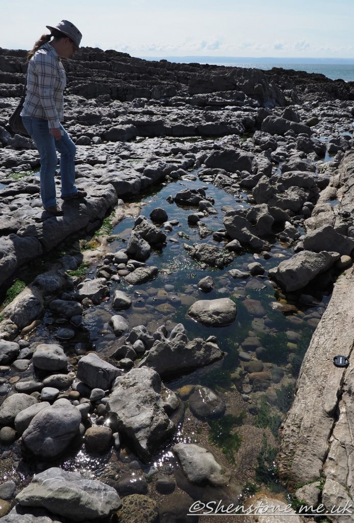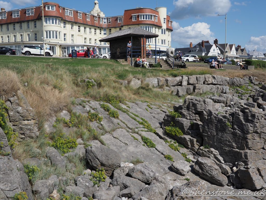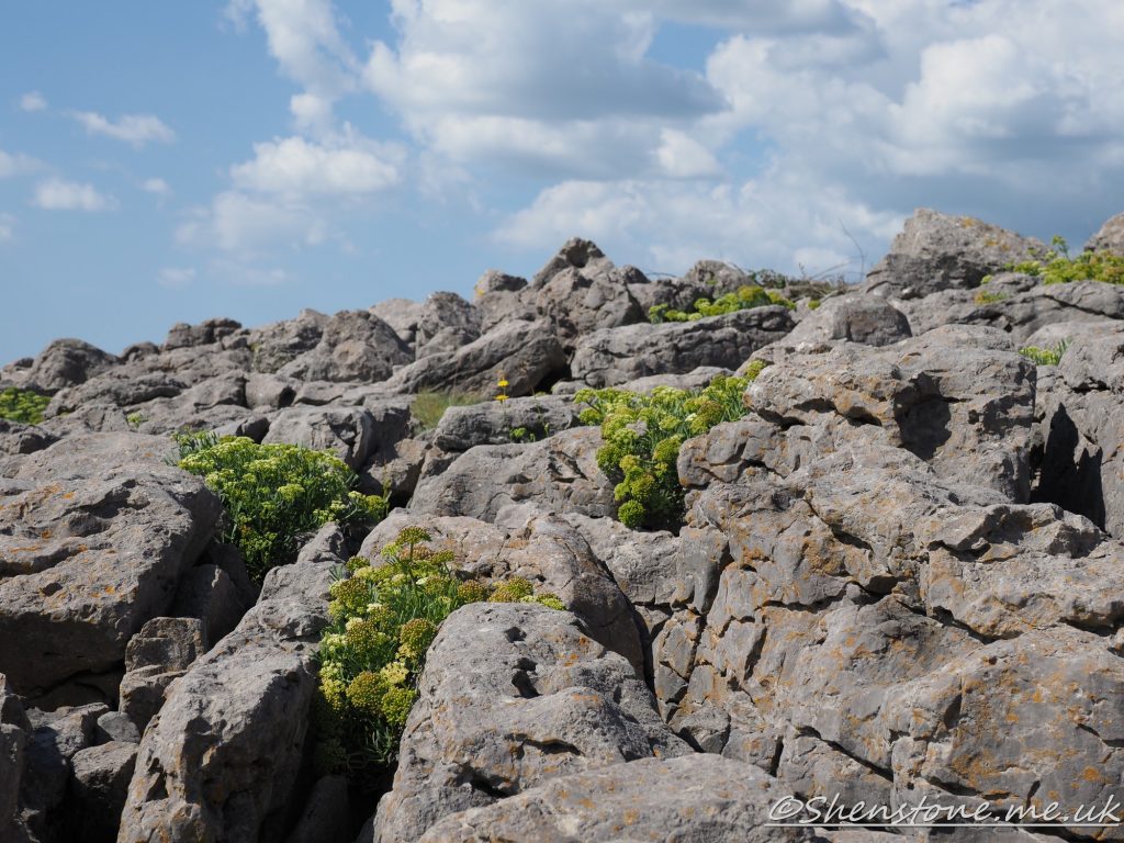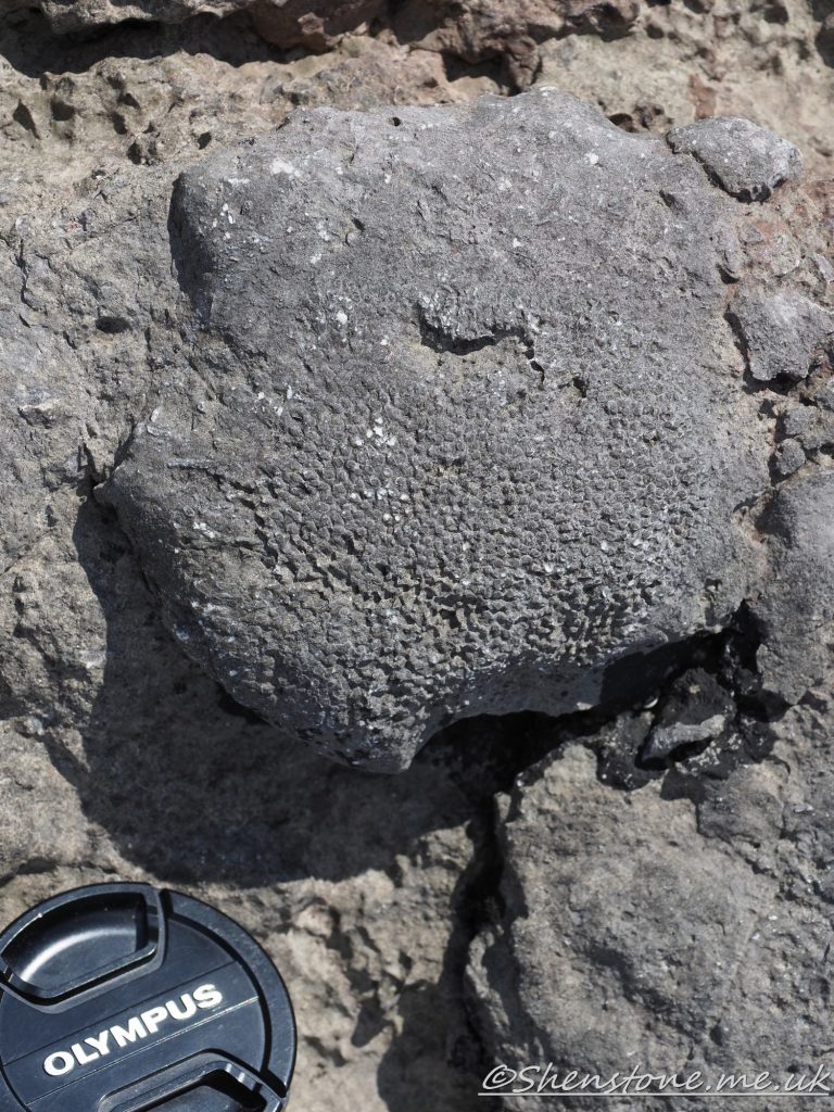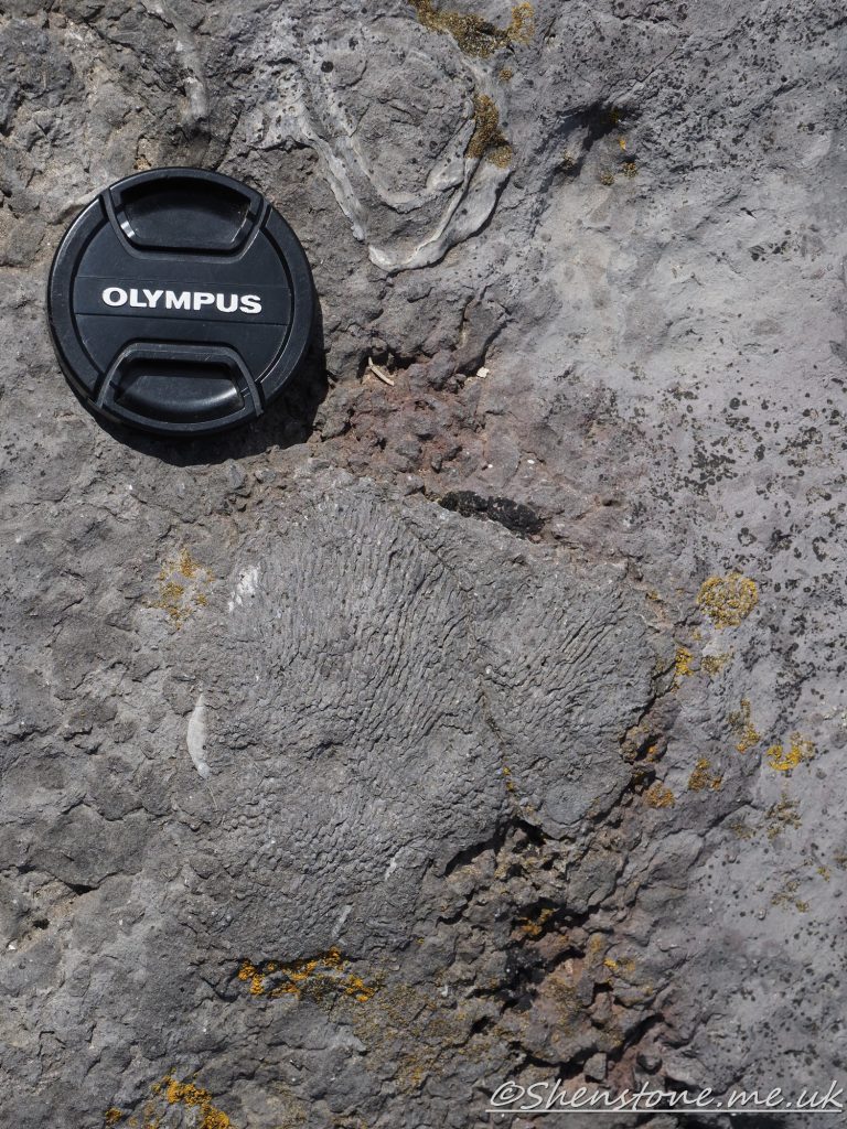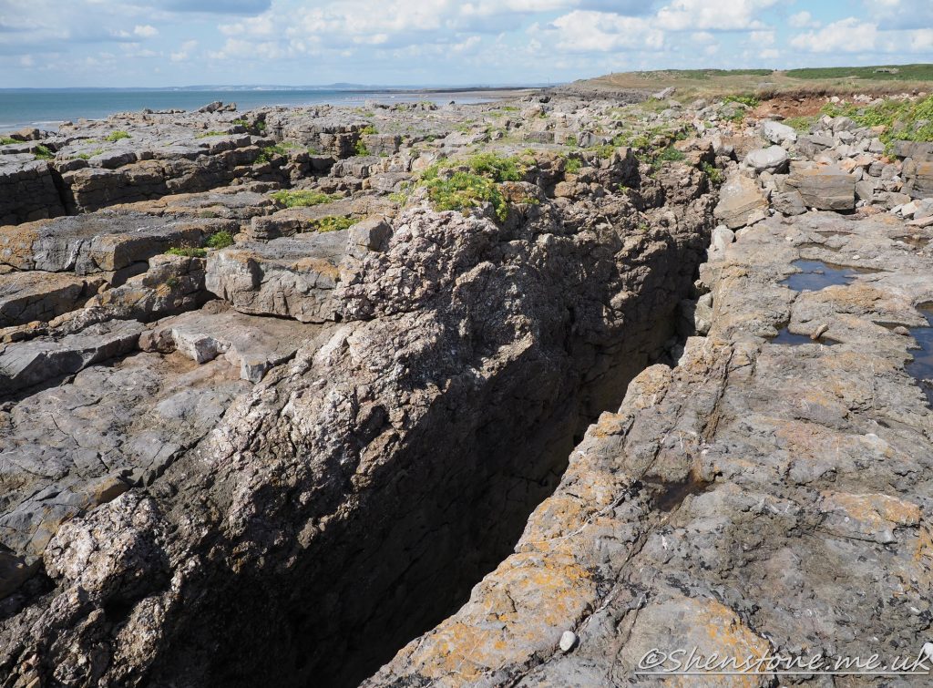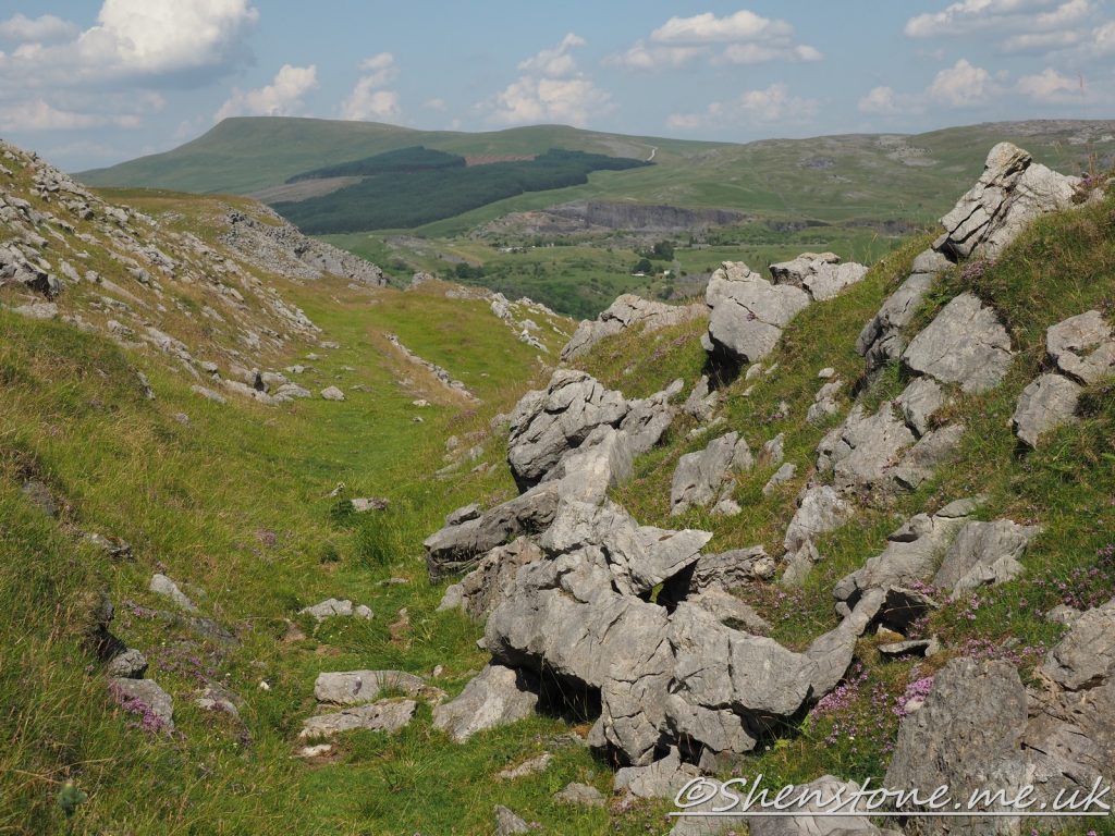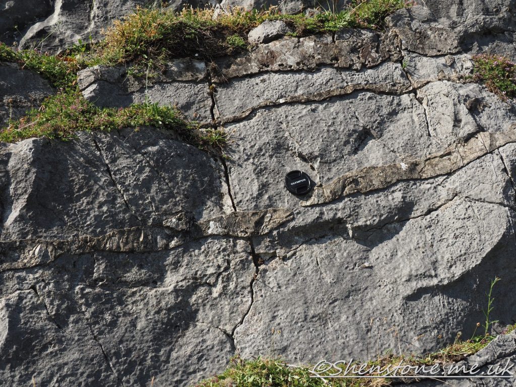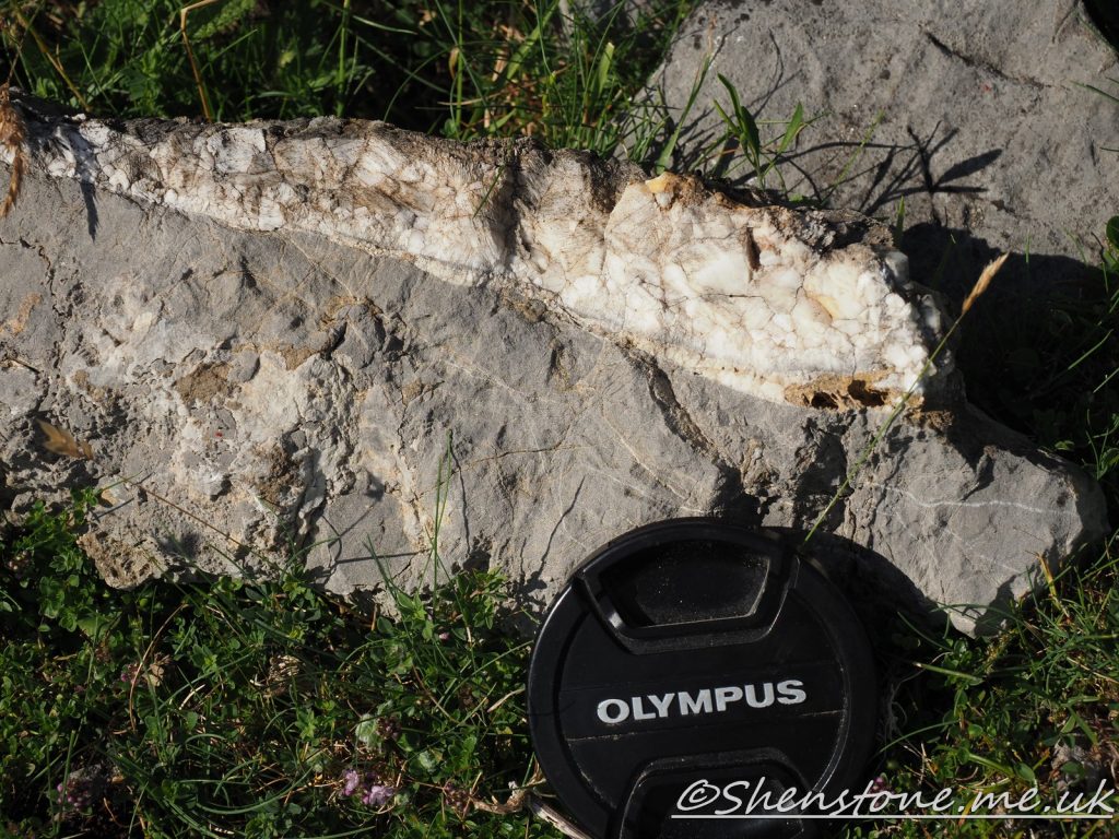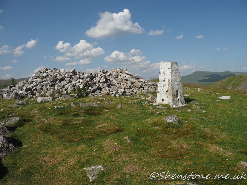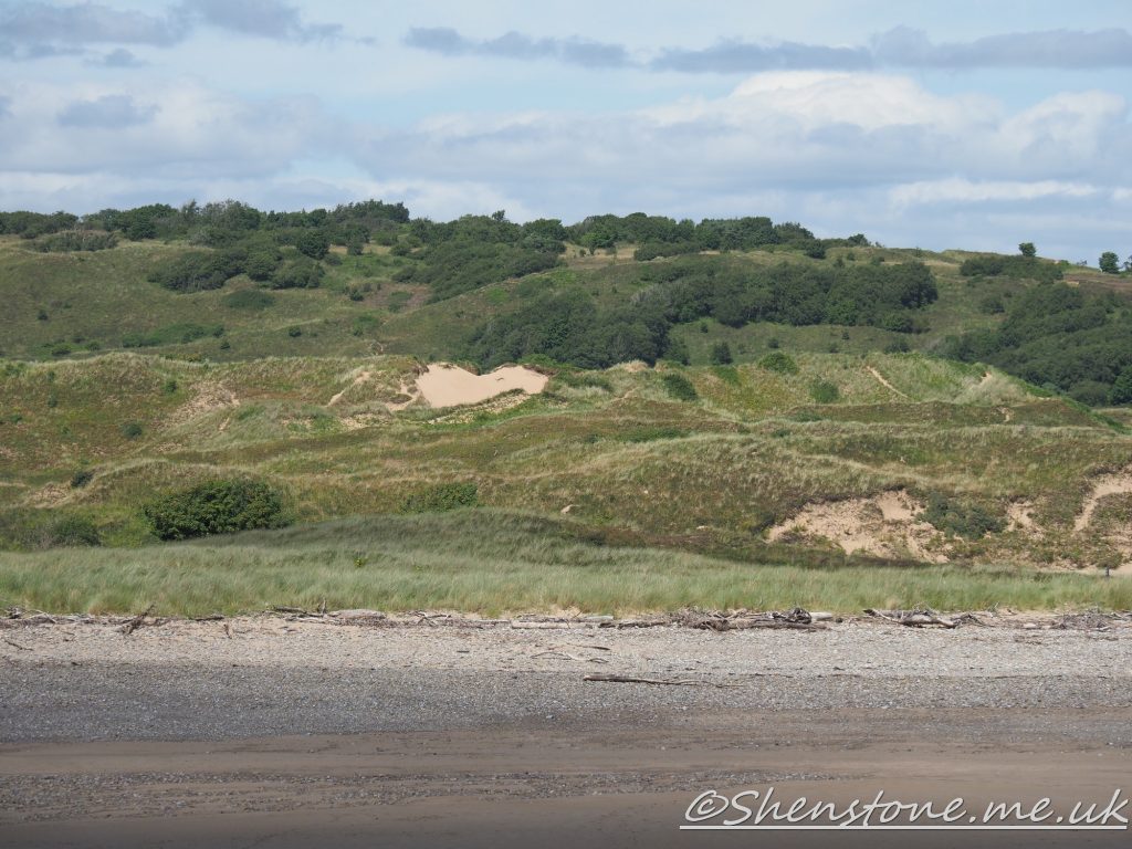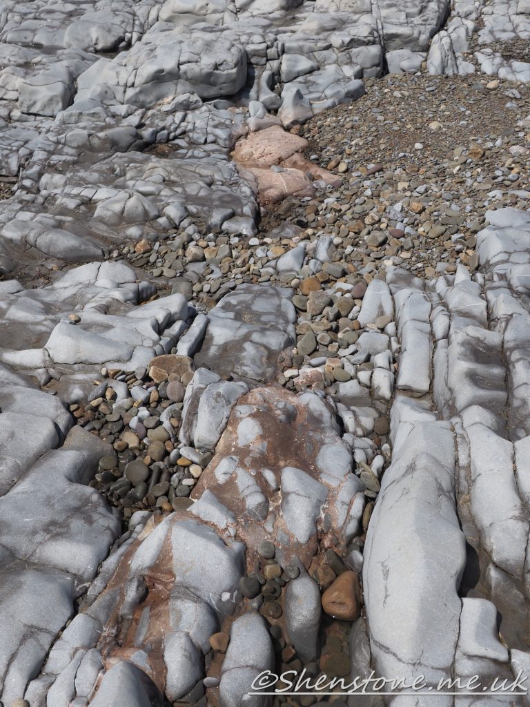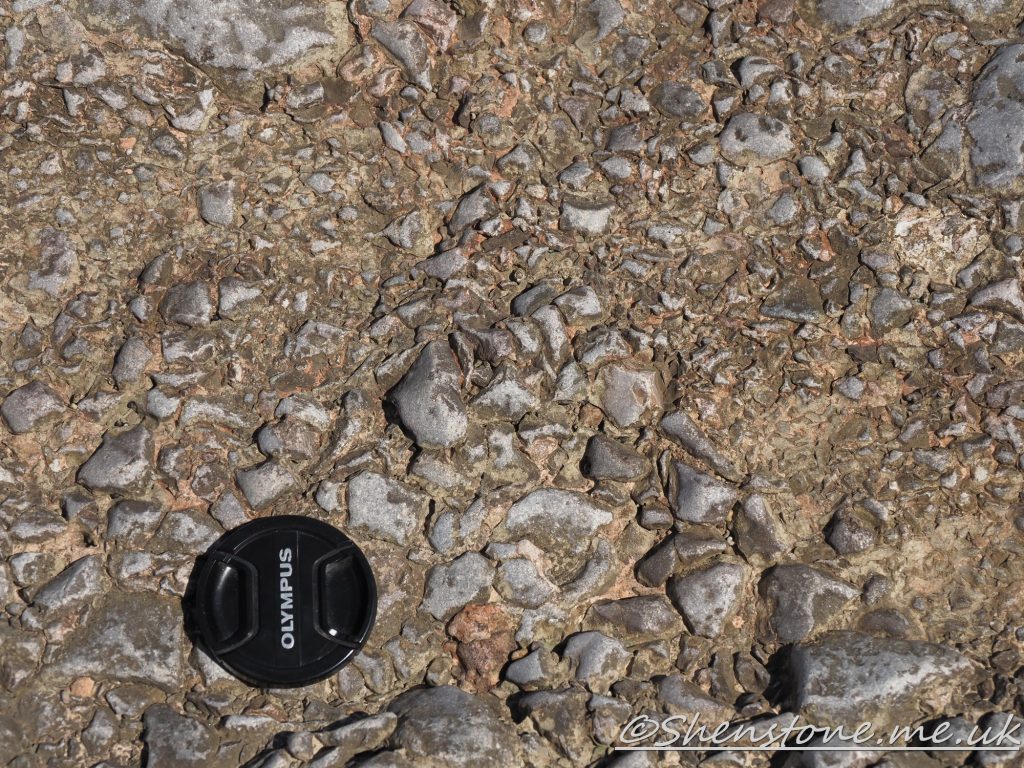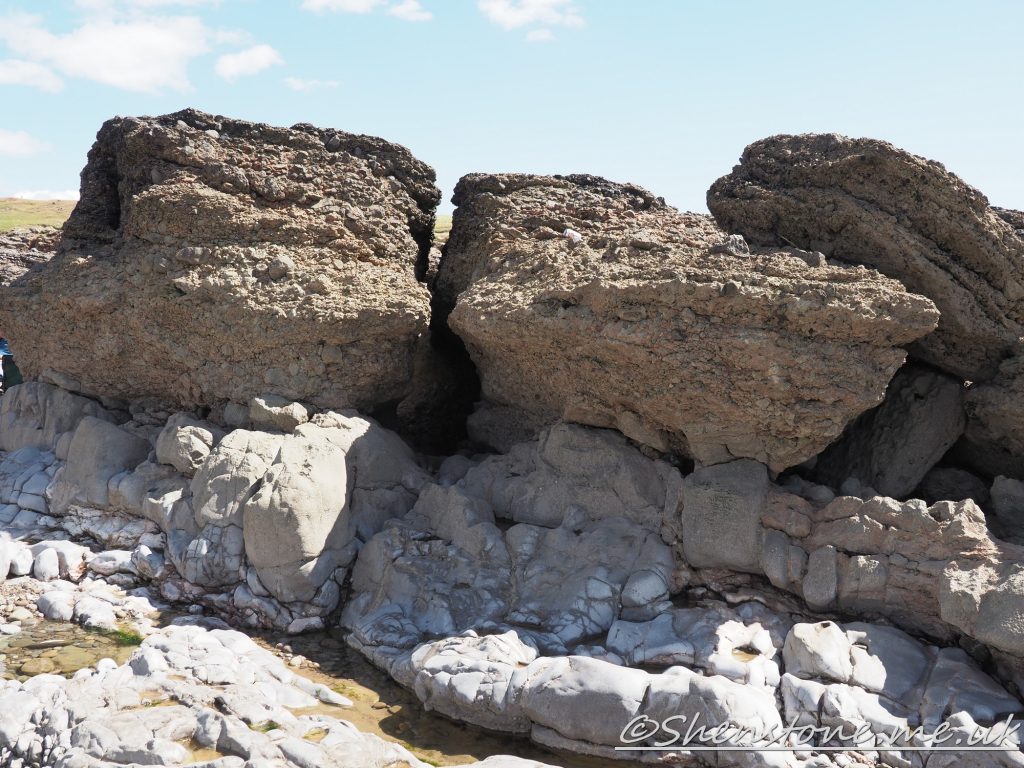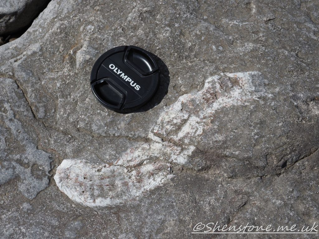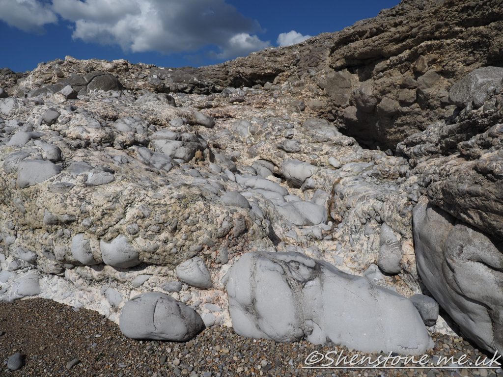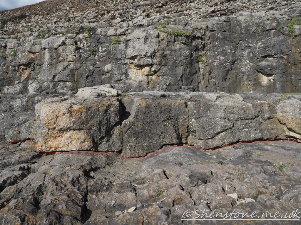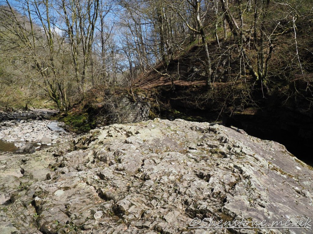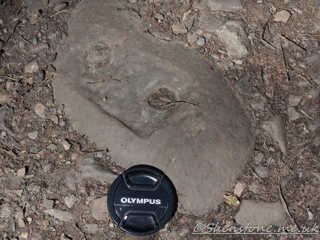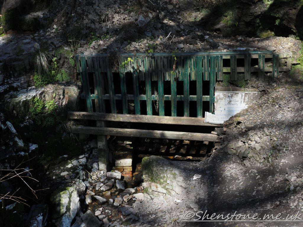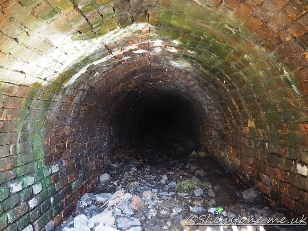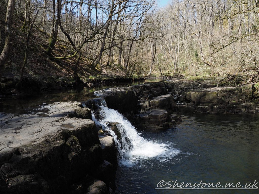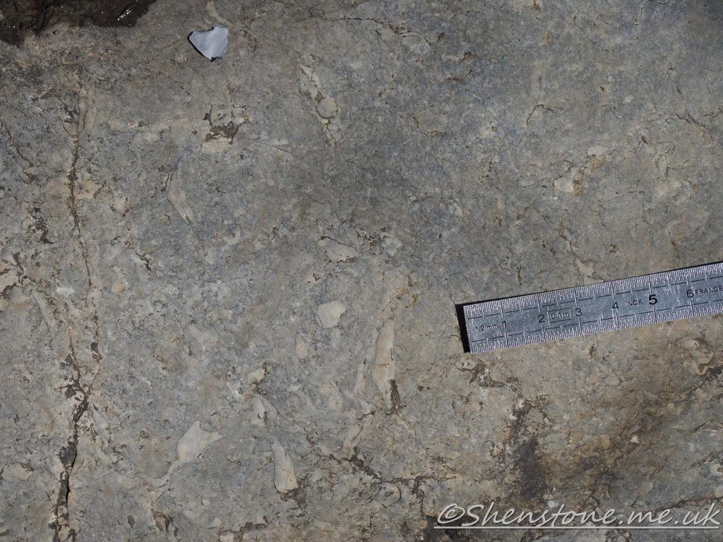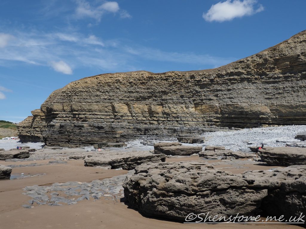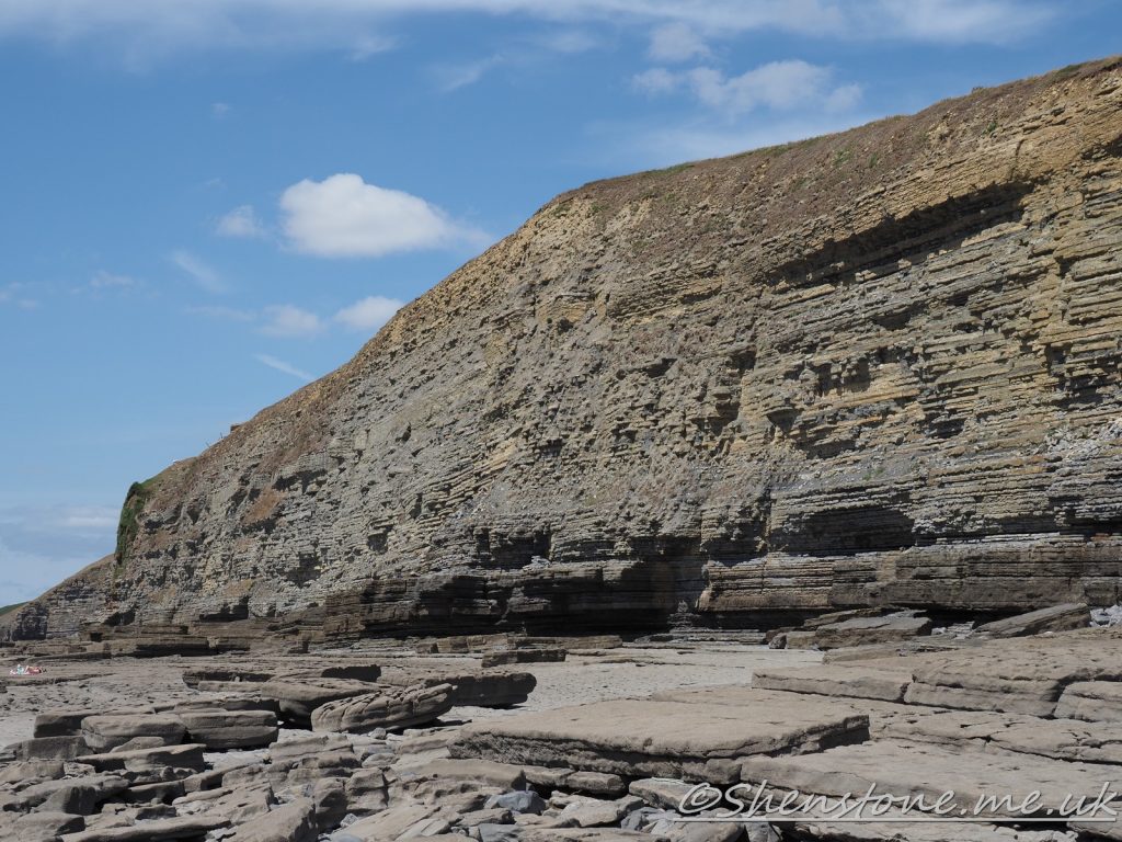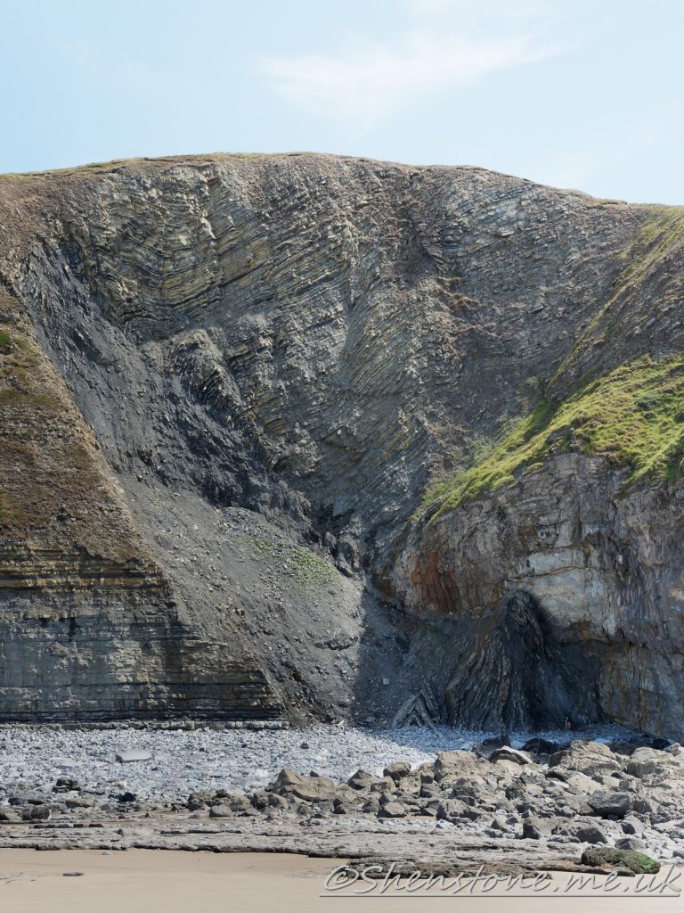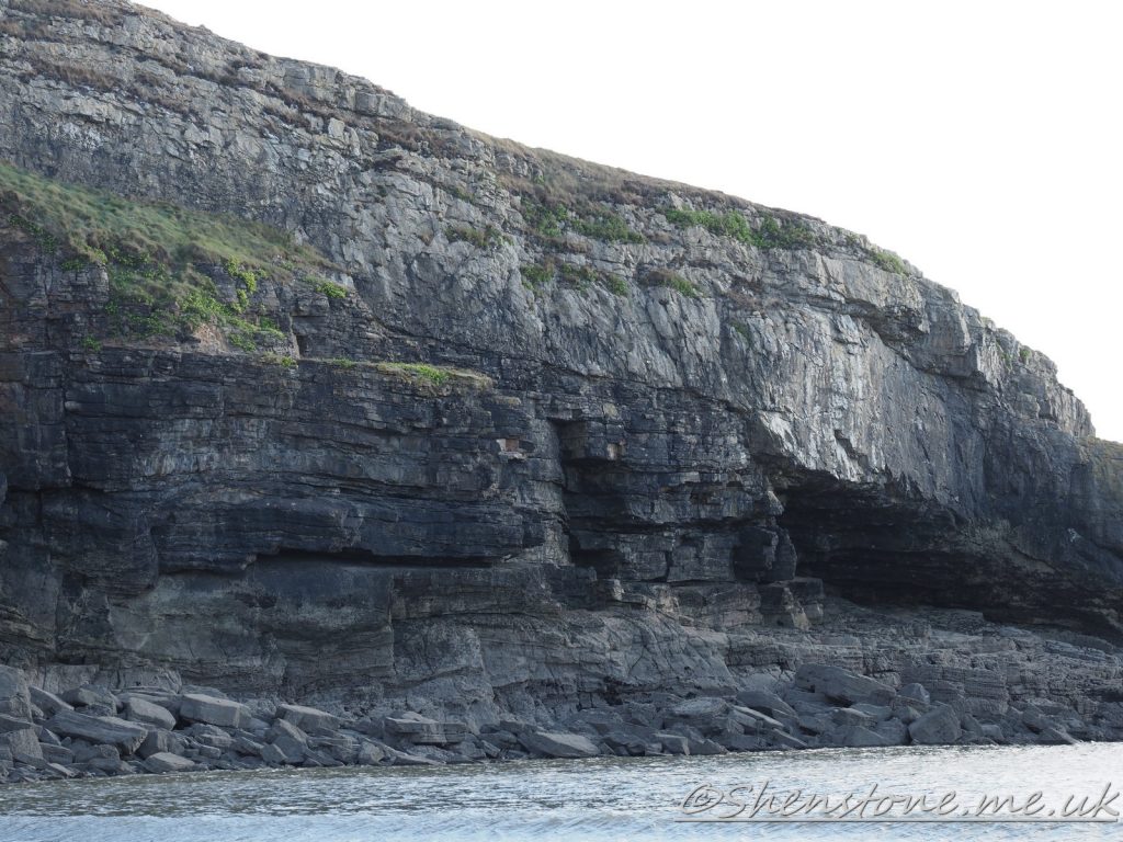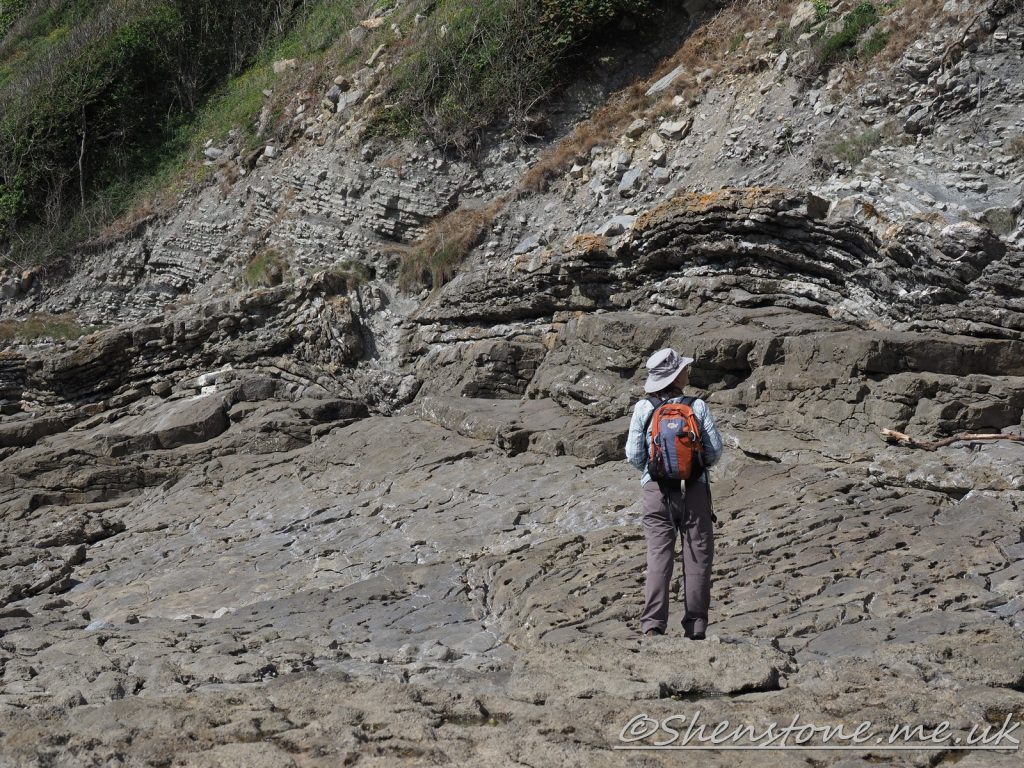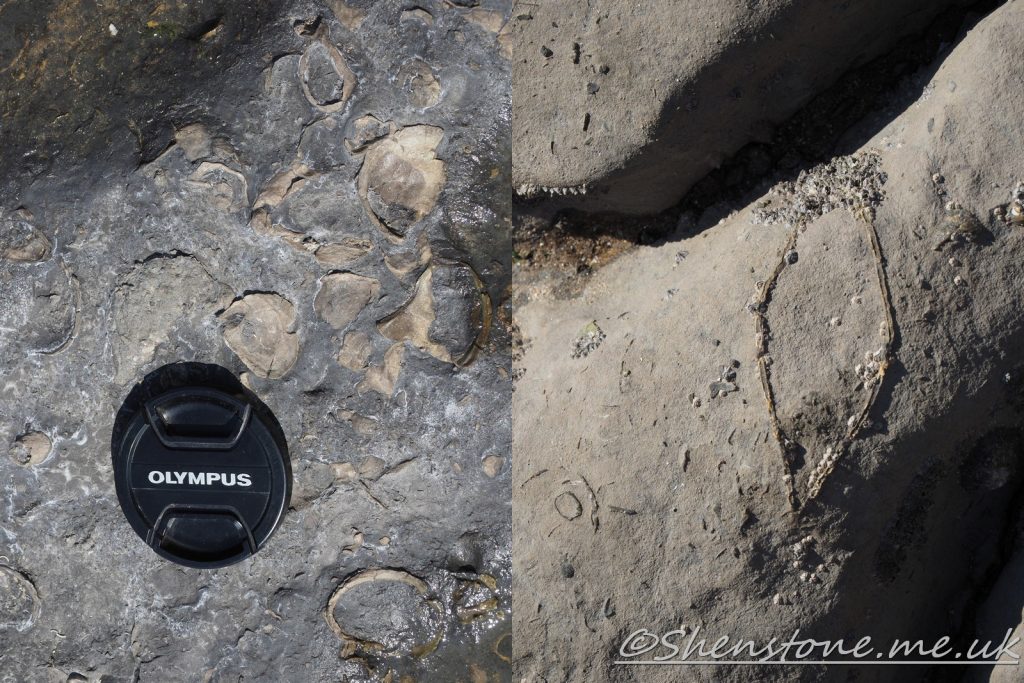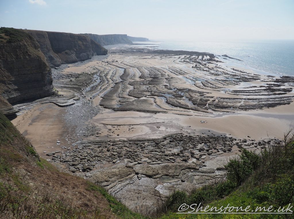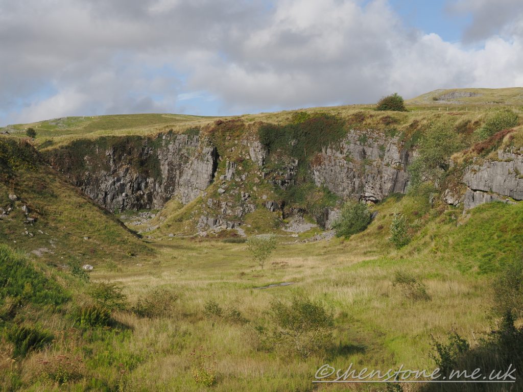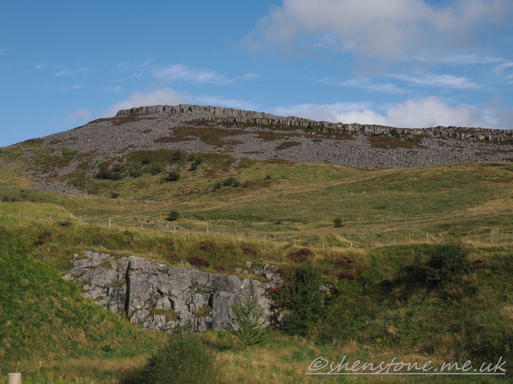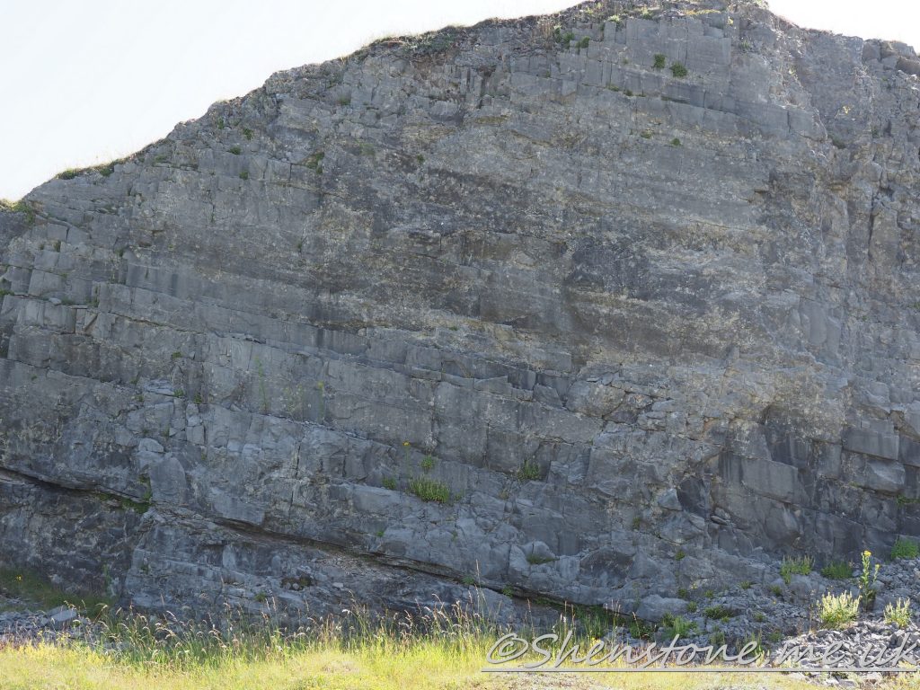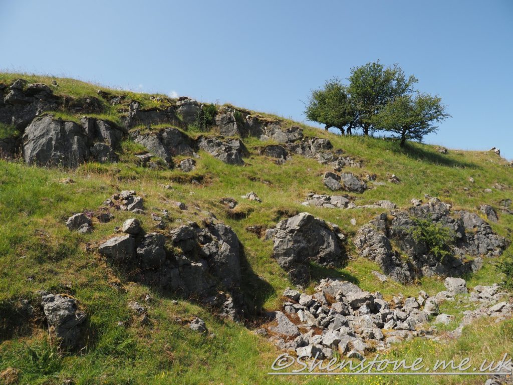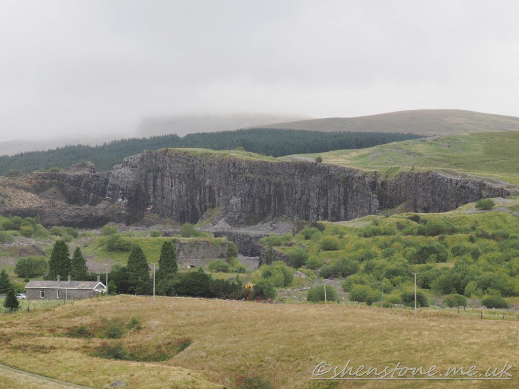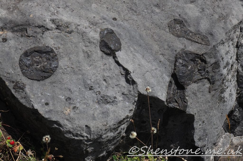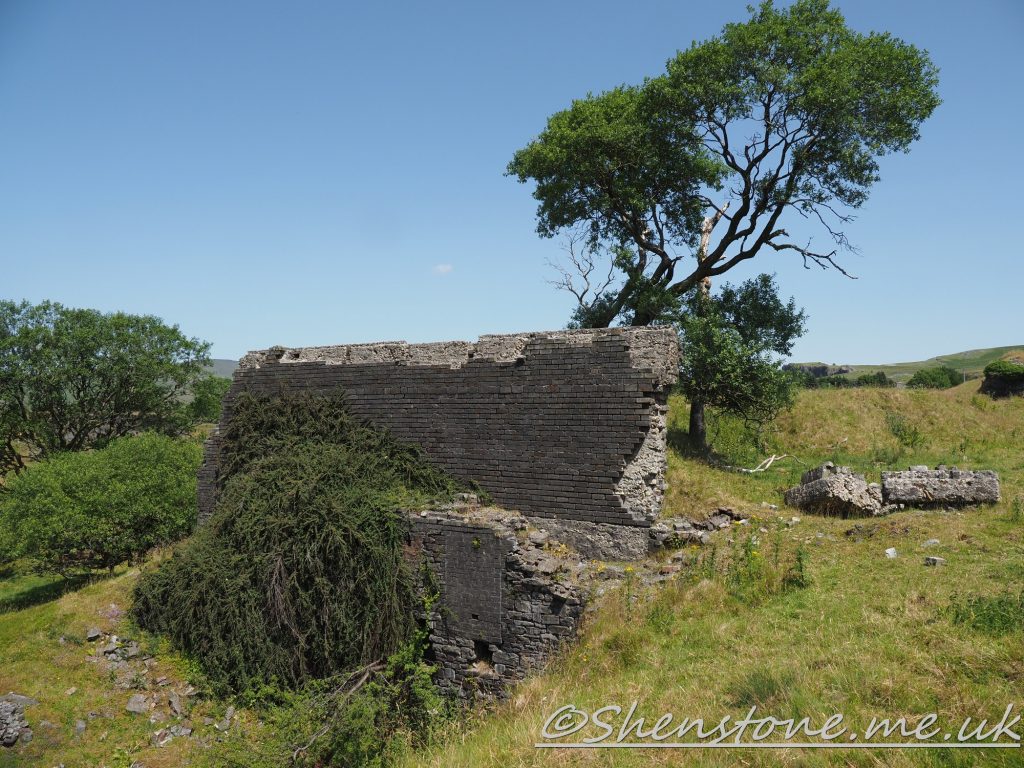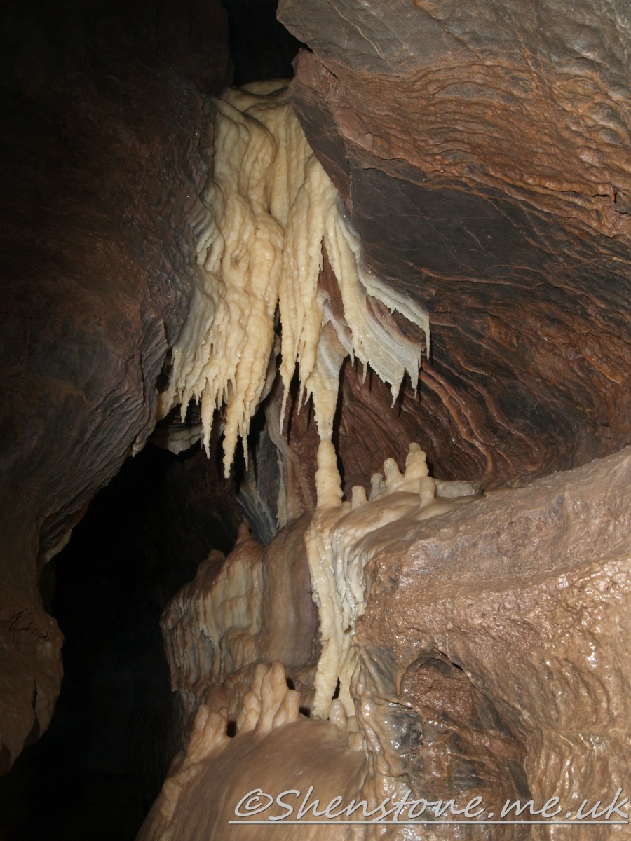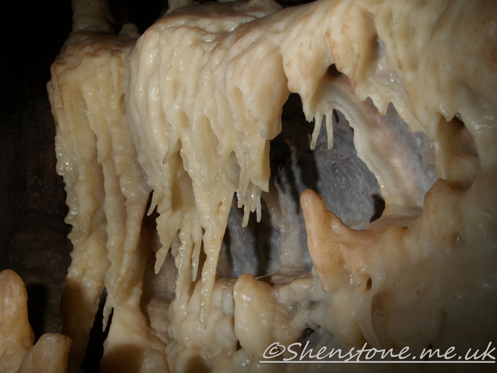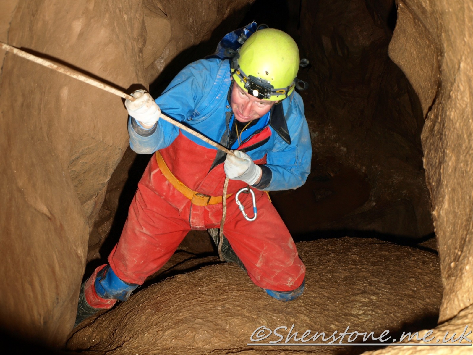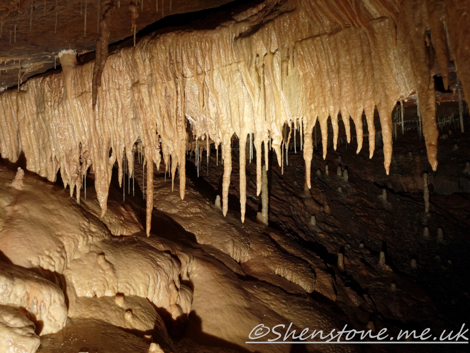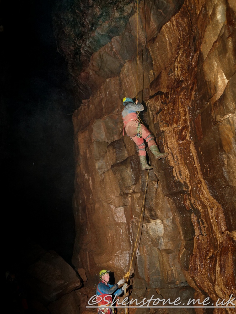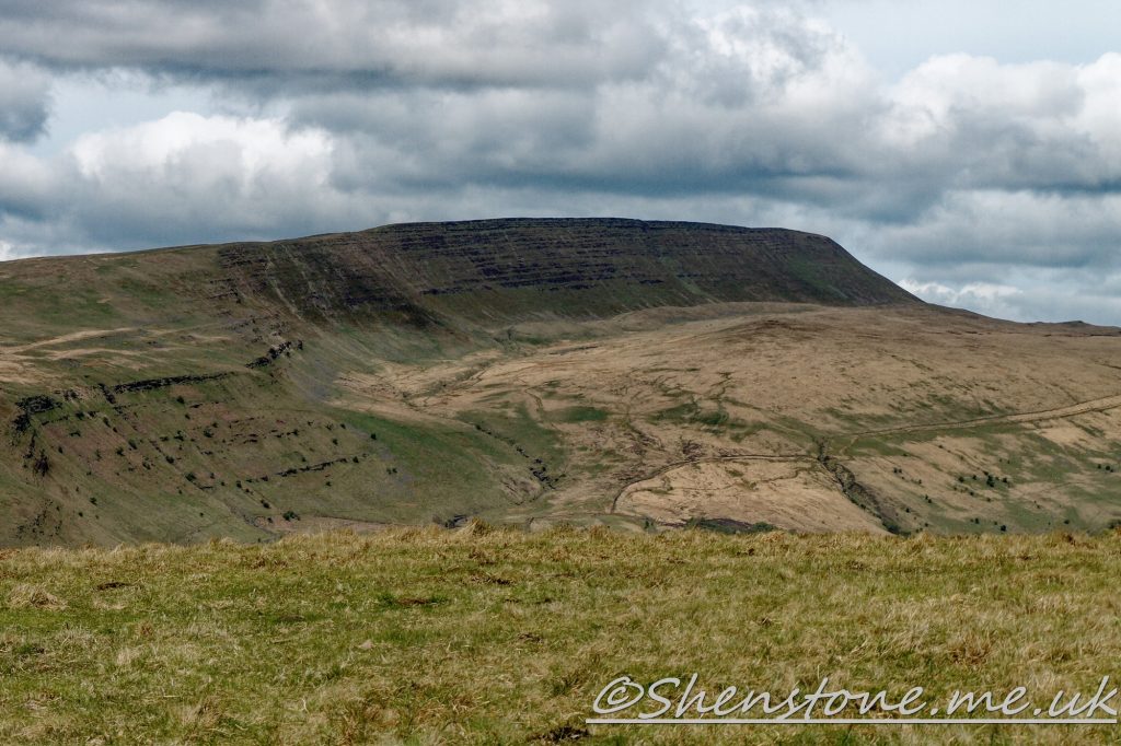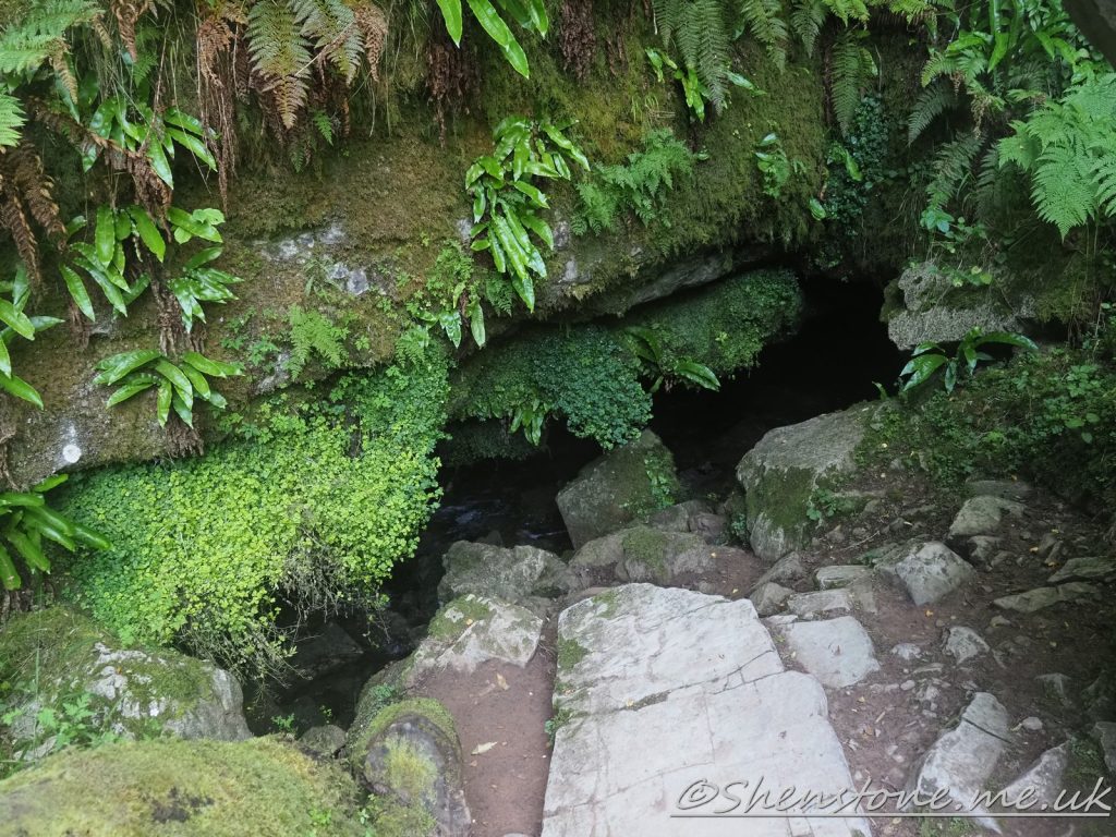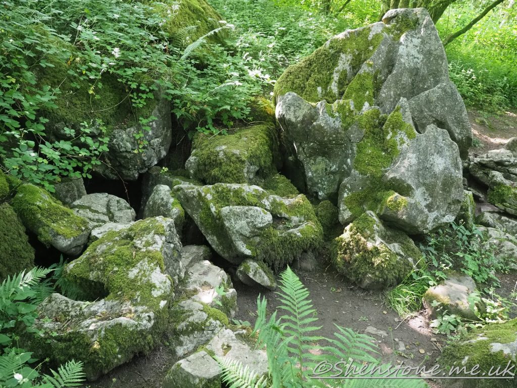
This is some additional information and pictures to support the geology walk at Llansteffan. Take a look at the descriptions under each picture to see more information
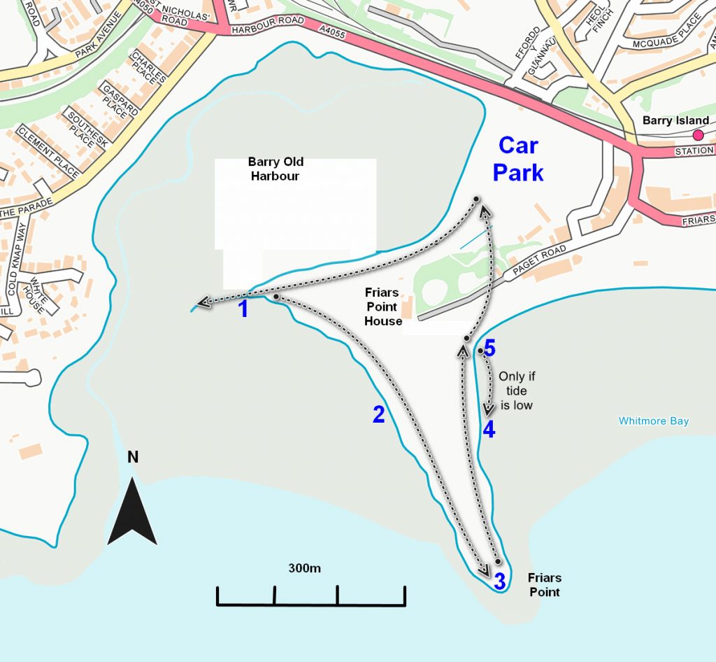
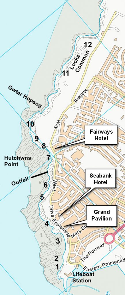
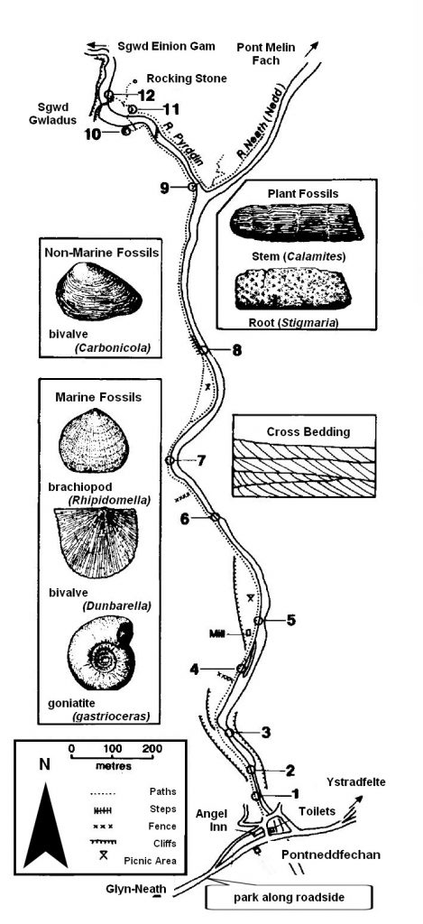
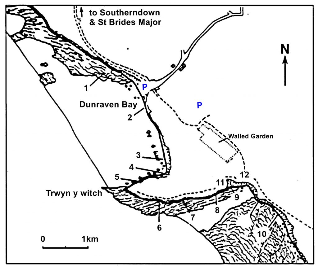
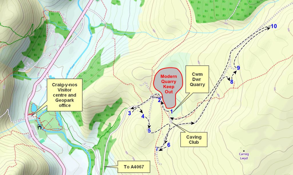
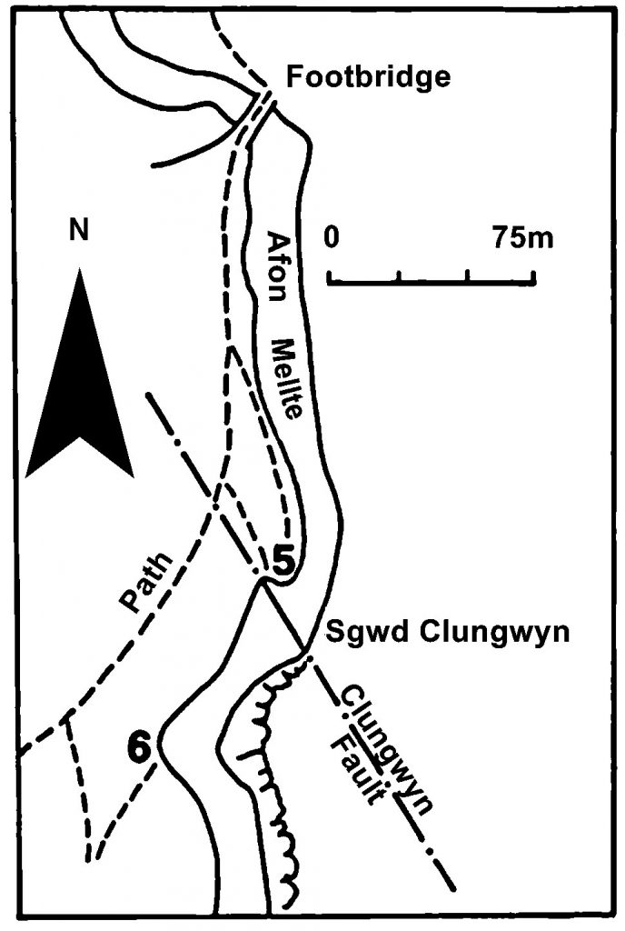
The Localities mentioned on this post relate to the map which is included in the leaflet PDF and is repeated here to make this page easier to read. For more information and descriptions of all the localities and the start point, parking etc. please see the leaflet

To download and print this walk, please open / download the PDF version here


•BGS Geology Viewer is a free smartphone app to view geological maps of Britain wherever you go https://www.bgs.ac.uk/technologies/apps/igeology-app/
We hope you enjoyed this short tour of Llansteffan. If you’d like to learn more about our local geology, take a look at other pages on the South Wales Geologists’ Association website: www.swga.org.uk